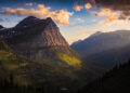
From June 26 to June 29, my father and I spent nearly a week in the Eastern Sierras. While there, we decided to backpack to the beautiful Big McGee Lake. Located only 25 minutes from Mammoth Lakes, the McGee Creek Trail has everything you could ask for including one of the most beautiful alpine lakes in the country.
Here is a full trail review and report.
McGee Creek Campground
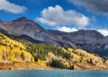
The hike to Big McGee Lake is approximately 14.5 miles round trip. Firstly, if you have a very long drive to the trailhead, you could camp at the McGee Creek Campground which lies along the McGee Creek Road just before the start of the trail. This is exactly what we did after a 6 hour long drive. The campground is very well maintained and popular. It has one main bathroom in the center of the ground with 6 stalls as well as multiple water spigots. Each campsite has a designated flat area to pitch a tent, a large metal bear box to store food, a picnic table, and an awning to provide much-needed shade. I would recommend reserving sites in advance just to ensure that you get a site, especially sites 9-12 as they are pressed up against an aspen forest in which McGee Creek runs through. After sleeping the night at this campground, we set off at around 8:00 am to the trailhead.
The Trail
The McGee Creek Trail parking lot is located right at the base of the valley that the trail runs through. There is also a small footpath from the parking lot to McGee Creek. We started our hike at around 8:30 am and were immediately struck by the grandeur of the towering mountains on each side of the valley. This section of the trail has a steady incline while also being covered in low bushes and shrubbery. About 1 mile in, you come across the iconic sign that indicates you have exited National Forest Service land and entered the John Muir Wilderness. At around this point is when the wildflowers become visible. When we went during late June, the flowers were really blooming with hues of purple and yellow dotting the land. For the next 2.2 miles, the trail takes on a mildly more intense incline with multiple stream crossings that are not really anything to worry about. These are also great opportunities to refill your water if needed. You even see Horsetail Falls located on the southeast side of the valley. This entire section is dominated by views of the towering peaks to either side of you.
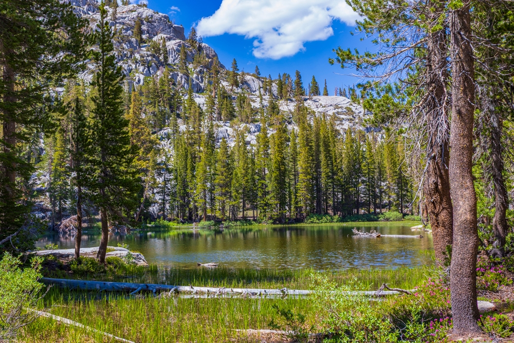
At around 2.7 miles in, there is a larger river crossing that crosses the main creek. The bridge is broken but still manageable. About 0.5 miles after this, you come across the first unnamed lake that is surrounded by a beautifully lush meadow. Here, you also get a view of the snow capped mountains that you will reach later in the day. At the time we went, there was actually still a good amount of snow. This meant that there was a heavy and steady flow of water throughout the trail. Around this section is when the terrain begins to turn to granite, a sign of the increasingly high elevation. Shortly after this, you will come across another river crossing. This one provides a bridge made of a single tree trunk about 1.5 feet wide suspended around 7 feet above the raging McGee Creek. Make sure not to lose your balance on this section or you will go for a swim.
Approximately 4.8 miles in, you enter a pine forest that persists for nearly the next 2 miles. Previous to this, the trail was mostly open, thus, allowing the sweeping winds of the mountains to brush aside any bugs. However, in the pine forest, the trees block any wind. Paired with small puddles of snow melt, the swarms of mosquitos are relentless and definitely warrant bug nets. Also, make sure to bring bug-proof clothing to prevent the mosquito from biting through the cloth. I was unfortunate enough to learn this the hard way as I received over 86 bites across the trip. This forested section is also where the worst incline is located with about 3 major sets of switchbacks.
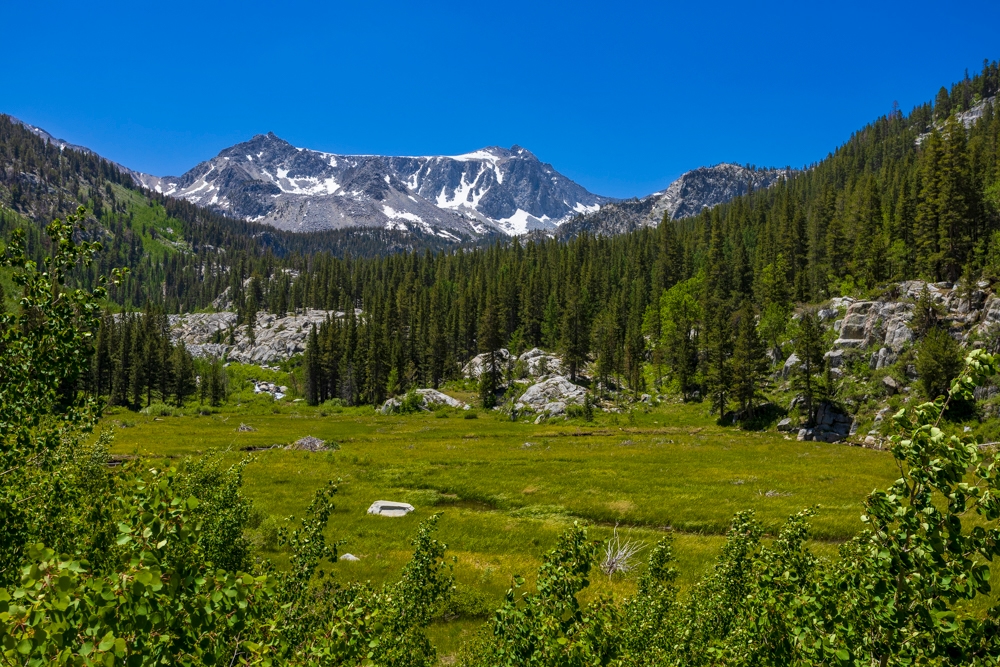
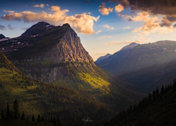
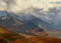
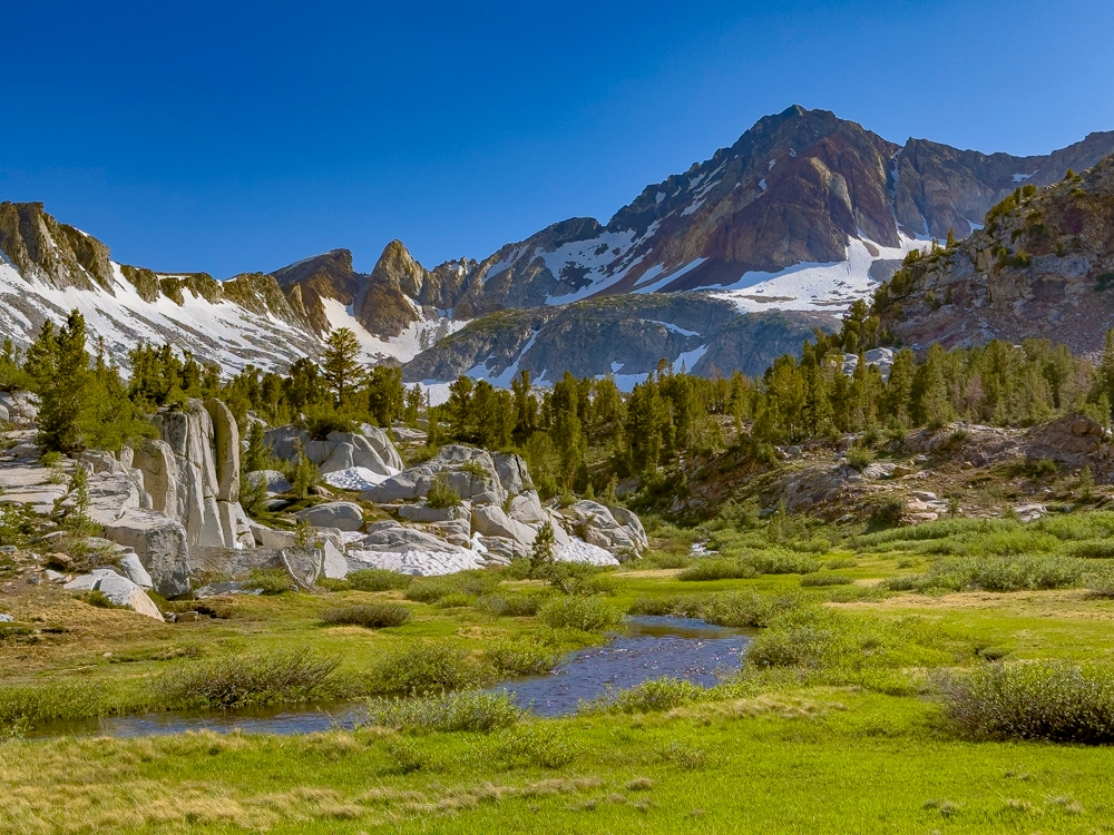
At around 6.6 miles in, the forest lifts and gives ways to some of the most spectacular views I have ever seen. Meadows plaster the terrain with the occasional rocky hills to climb. Cutting through these meadows is McGee Creek, further surrounded by imposing snow capped granite peaks, creating a majestic picturesque scene.
The Lake
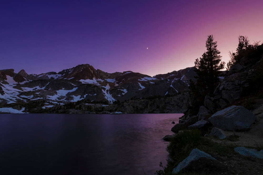
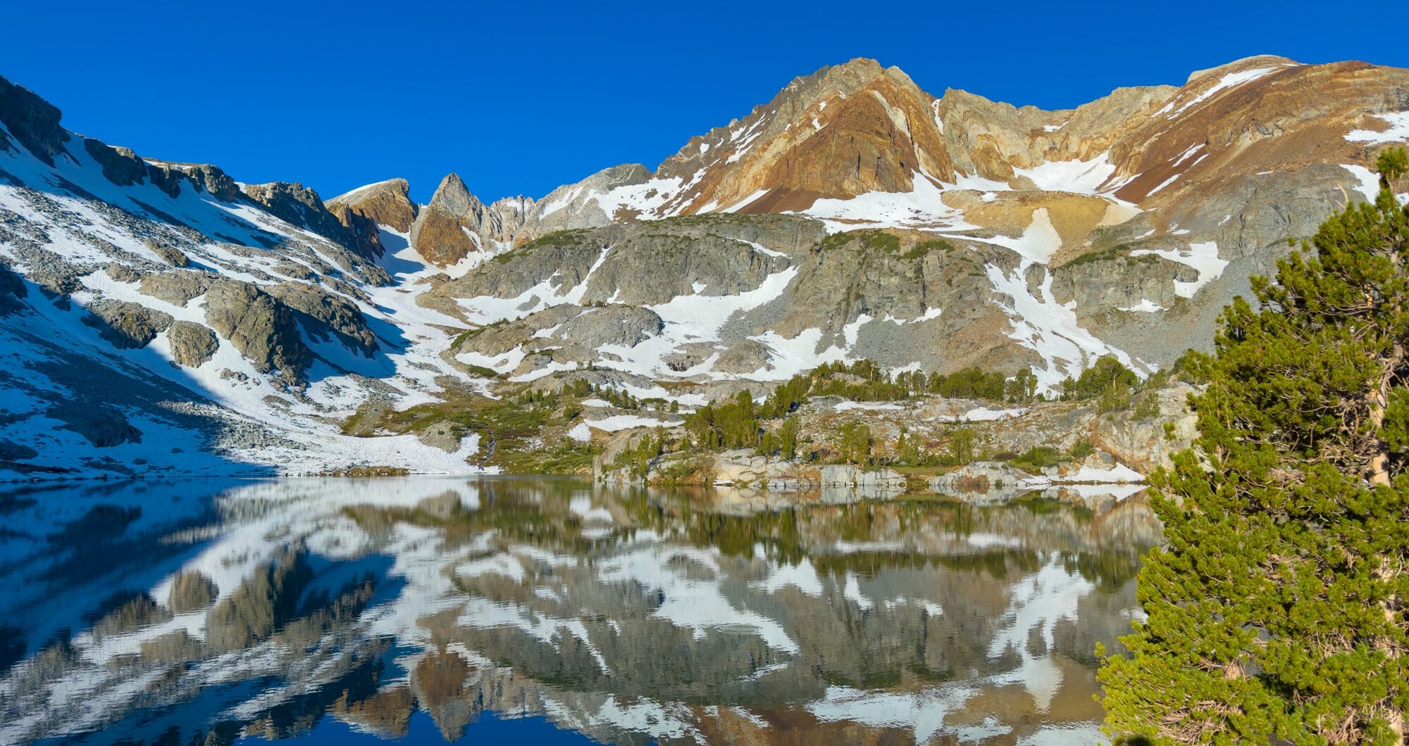
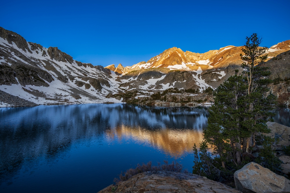
When you finally get to Big McGee Lake, approximately 10,500 feet in elevation, it seems as if you have stepped into a painting. The lake glistens with its turquoise color, occasionally broken by a ripple of water from the trout under the surface. The granite mountains encircling the lake stand guard like ancient sentinels all wearing thin white coats of snow. The branches of the trees sway in the wind while their bird inhabitants fill the air with their songs. Marmots and chipmunks scurry about the rocks endlessly. While there, sitting at the stunning lake, the world seems at peace.
There are plenty of flat camping spots, including those on the opposite side of the lake. A wilderness permit is required for overnight camping and can be found at recreation.gov. We stayed at the lake the entire next day, exploring the area, soaking in the views, and even going for a short dip in the frigid waters. The next day, on Sunday the 29th, we made the hike back down to the parking lot and concluded a tremendous adventure by soaking our feet in the creek.
Overall, the trail is very well maintained with only a few sections of mildly overgrown vegetation. Certain forested sections of the trail, including the lake when there is no wind, can be very buggy. So, a bug net as well as some bug lotion is necessary. There is plenty of water and multiple great camp spots at the lake. The views on the hike are purely incredible. There is not a single moment on the trail where the view isn’t spectacular. Big McGee Lake is surely one of the best alpine lakes that California has to offer.